Civil & Structural Engineering
Locating underground utilities
for civil design applications.
One of the most common One-Call requests for public utility locators is from Civil and Structural Engineers to locate underground utilities for both civil design applications and for civil projects already in the construction phase. GeoSearch Services can locate all underground utilities and other objecgts using a combination of both Ground Penetrating Radar and Electromagnetic Induction (EMI) to reduce the risks of encountering unexpected utilities and other buried objects.
✦ In addition, images produced during the GPR scan, can be sliced to accurately show 2D and 3D images of the study area and accurate utility maps can be generated.
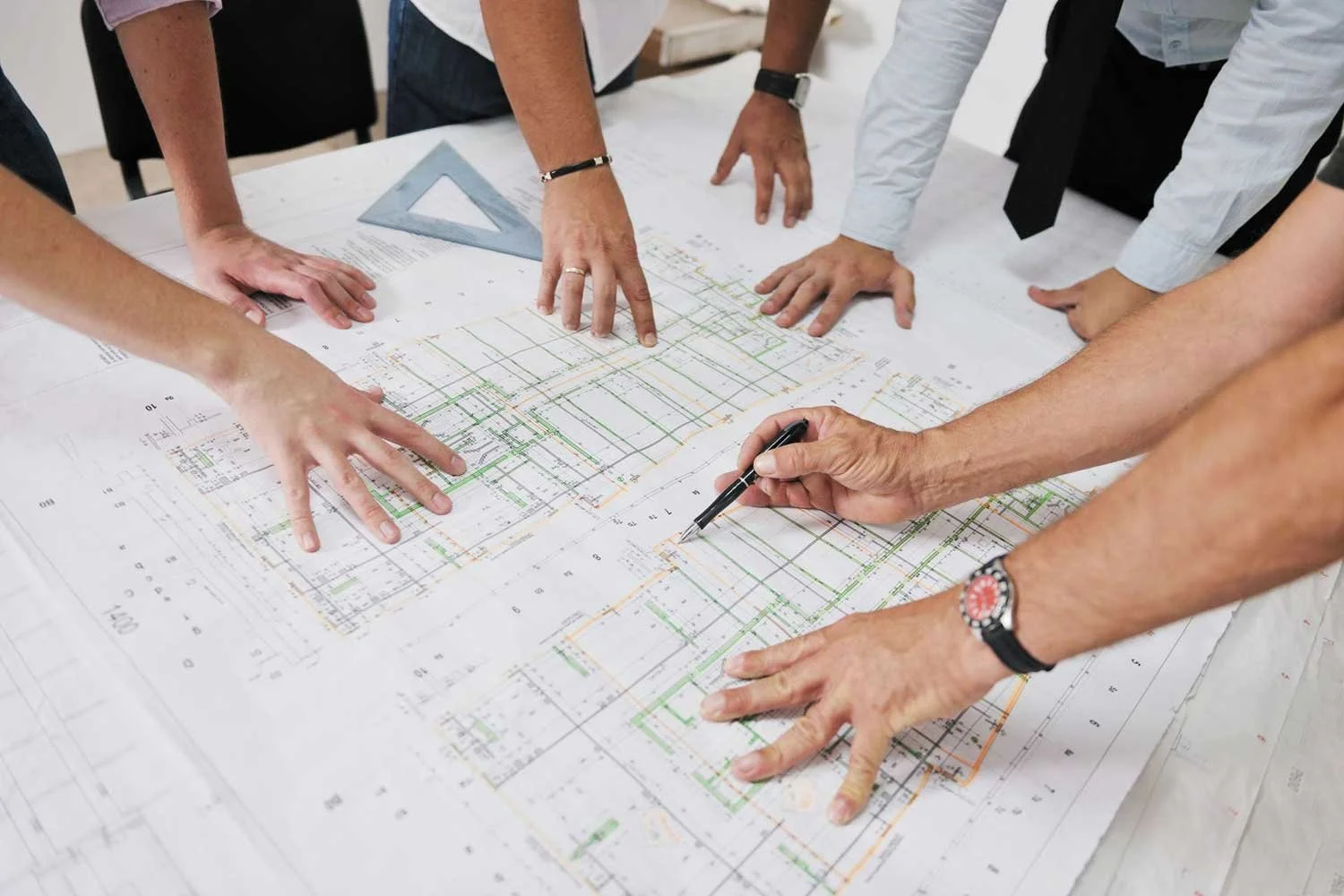
✦ Since civil engineers are often asked to develop site plans using outdated as-built information, they must rely on utility locating to develop accurate site plans.
✦ Not only can public utility locators not determine the location of non-metallic underground utilities, they cannot determine accurate depths to buried utilities, nor can they locate other buried objects such as underground storage tank, septic tanks, or any other debris.
✦ Using GPR to scan the project site prior to underground work has proven to be very effective in preventing work stoppages, changes in design, and expensive change orders.


